


Primary sourceDocument1846
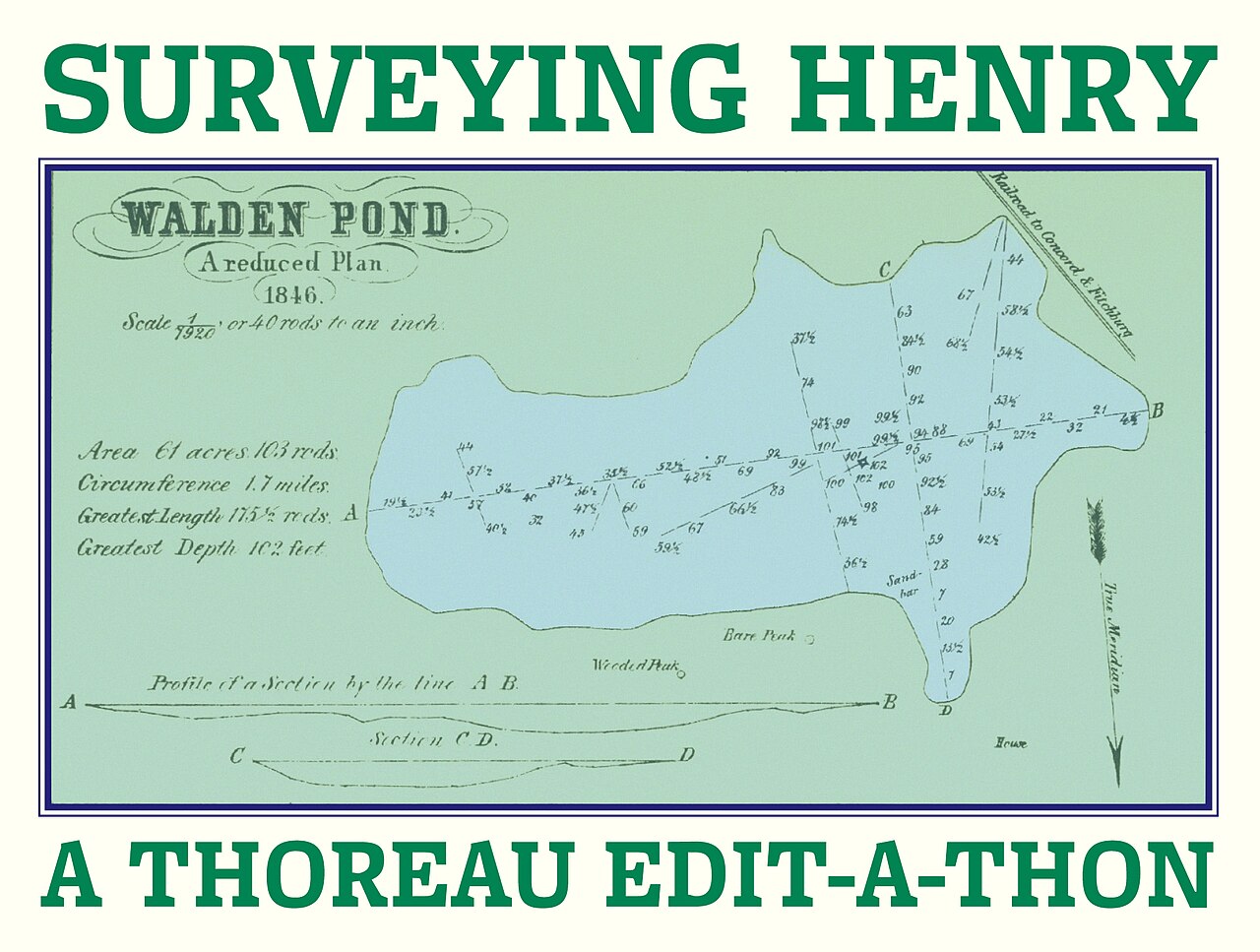
Thoreau's Survey Map of Walden Pond
Henry David Thoreau · 1846
A reproduction of Thoreau's 1846 survey map of Walden Pond, showing his work as a land surveyor.
A map Thoreau himself surveyed and drew, showing his practical work alongside his writing.
About this source
What it is
This is a reproduction of a survey map of Walden Pond, titled "Walden Pond, A reduced Plan," drawn by Thoreau in 1846. It shows the pond's outline, numbered depth soundings and profile sections. The image comes from the Walden Woods Project's Thoreau Institute and appears here as part of a Wikipedia edit-a-thon banner.
Why it matters
Thoreau worked as a professional surveyor, and this map shows that practical, scientific side of his life alongside his writing. His careful measurements of the pond reflect the close observation of nature that also shaped his famous book about Walden.
Look closer
- What does the detail of the depth soundings tell you about how carefully Thoreau studied the pond?
- Why might a writer famous for philosophical reflection also work as a surveyor?
- What does this map leave out that a written description of Walden Pond might capture instead?
This document is part of the curated material that grounds the AI version of Henry David Thoreau on Humy.ai — when students ask about related events, the AI can quote it and cite it.
More Henry David Thoreau sources
Meet the AI Henry David Thoreau →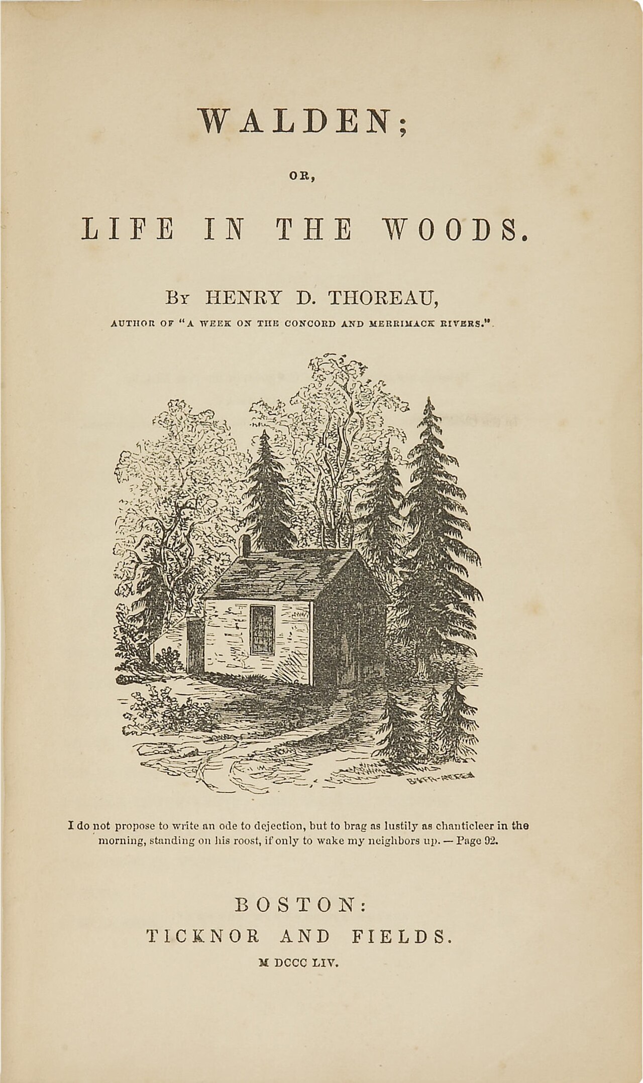 Book
Primary source
Walden
Henry David Thoreau · 1854
 Book
Primary source
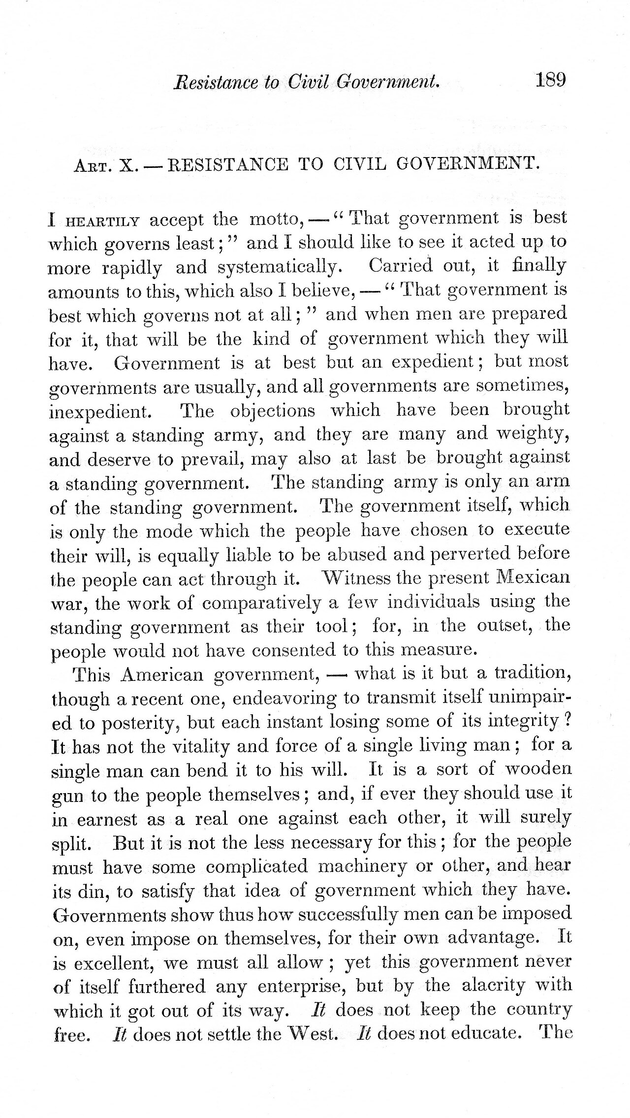
Civil Disobedience
Henry David Thoreau · 1849
 Photograph
Primary source
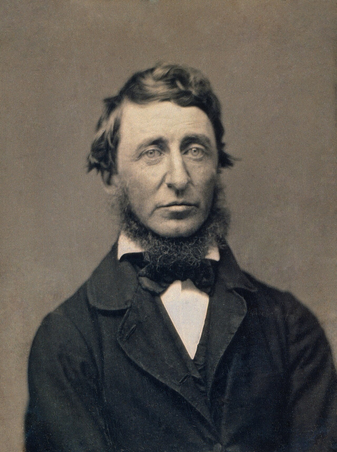
Daguerreotype Portrait of Henry David Thoreau
Benjamin D. Maxham · 18 June 1856
Primary source
Slavery in Massachusetts
Henry David Thoreau · 4 July 1854
Primary source
A Plea for Captain John Brown
Henry David Thoreau · 30 October 1859
Ready when you are
Start chatting with Henry David Thoreau now.
20 messages free · No credit card · Available in 50+ languages.