


Secondary sourceArtifact2 September 2018
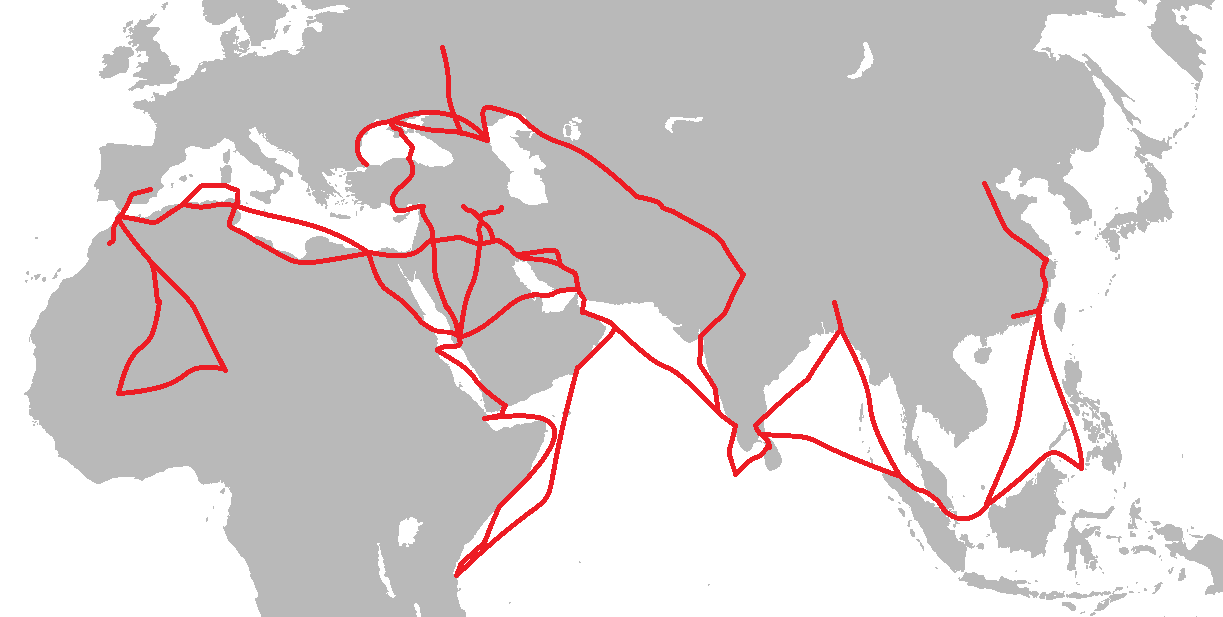
Travel Route of Ibn Battuta Map
Weetjesman · 2 September 2018
A modern map tracing the routes Ibn Battuta travelled across Afro-Eurasia, used to visualise his extensive journeys.
This map traces Ibn Battuta's extensive journeys, helping viewers visualise the scope of his travels.
About this source
What it is
This is a modern map created in 2018 showing the travel routes of Ibn Battuta. Red lines trace his journeys across North Africa, the Middle East, Central Asia, India, Southeast Asia and China, drawn over a grey map of Afro-Eurasia.
Why it matters
Maps like this help us understand the scale of Ibn Battuta's travels, which crossed many regions and cultures of the medieval Islamic world and beyond. It is a secondary source, made centuries after Ibn Battuta's life to help modern readers follow his path.
Look closer
- How does seeing the whole route at once change your sense of how far Ibn Battuta travelled?
- What might be missing from a map like this — such as the time each journey took?
- Why might historians create visual aids like this instead of relying only on text?
This artifact is part of the curated material that grounds the AI version of Ibn Battuta on Humy.ai — when students ask about related events, the AI can quote it and cite it.
More Ibn Battuta sources
Meet the AI Ibn Battuta →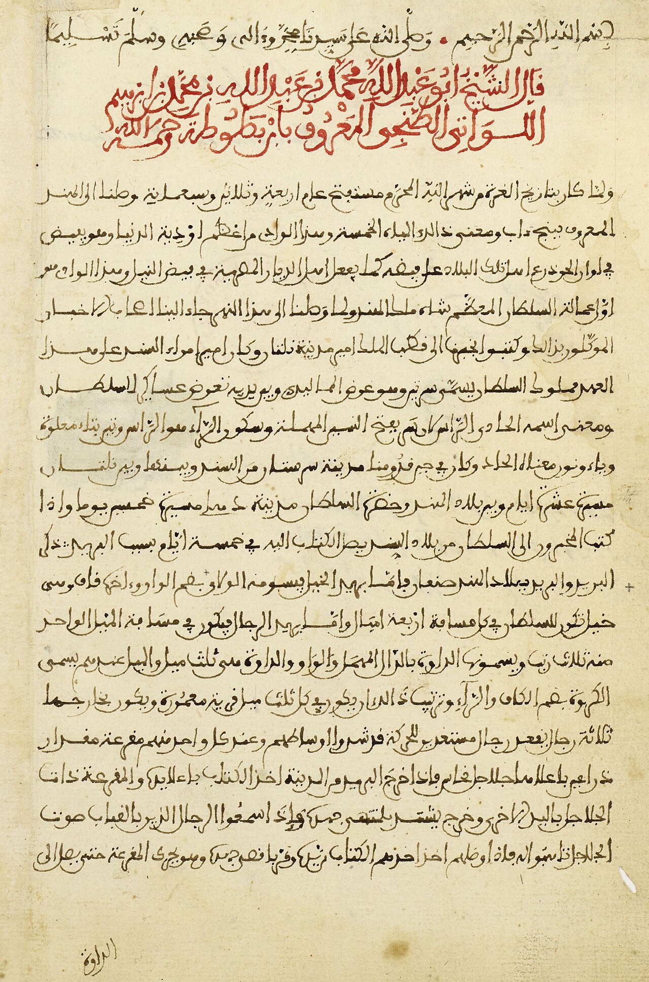 Book
Primary source
The Rihla
Ibn Battuta · 1354-1356
 Book
Primary source
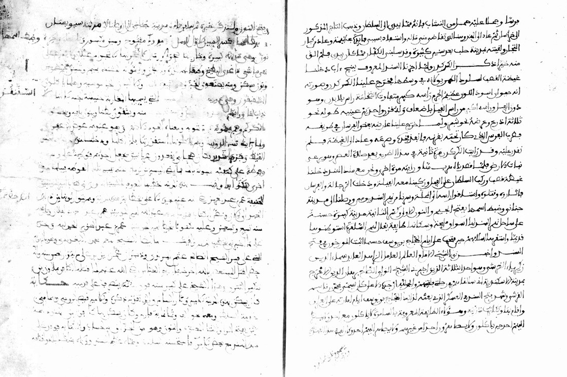
Manuscript of the Rihla by Ibn Juzayy
Ibn Juzayy · 14th century
 Artifact
Secondary source
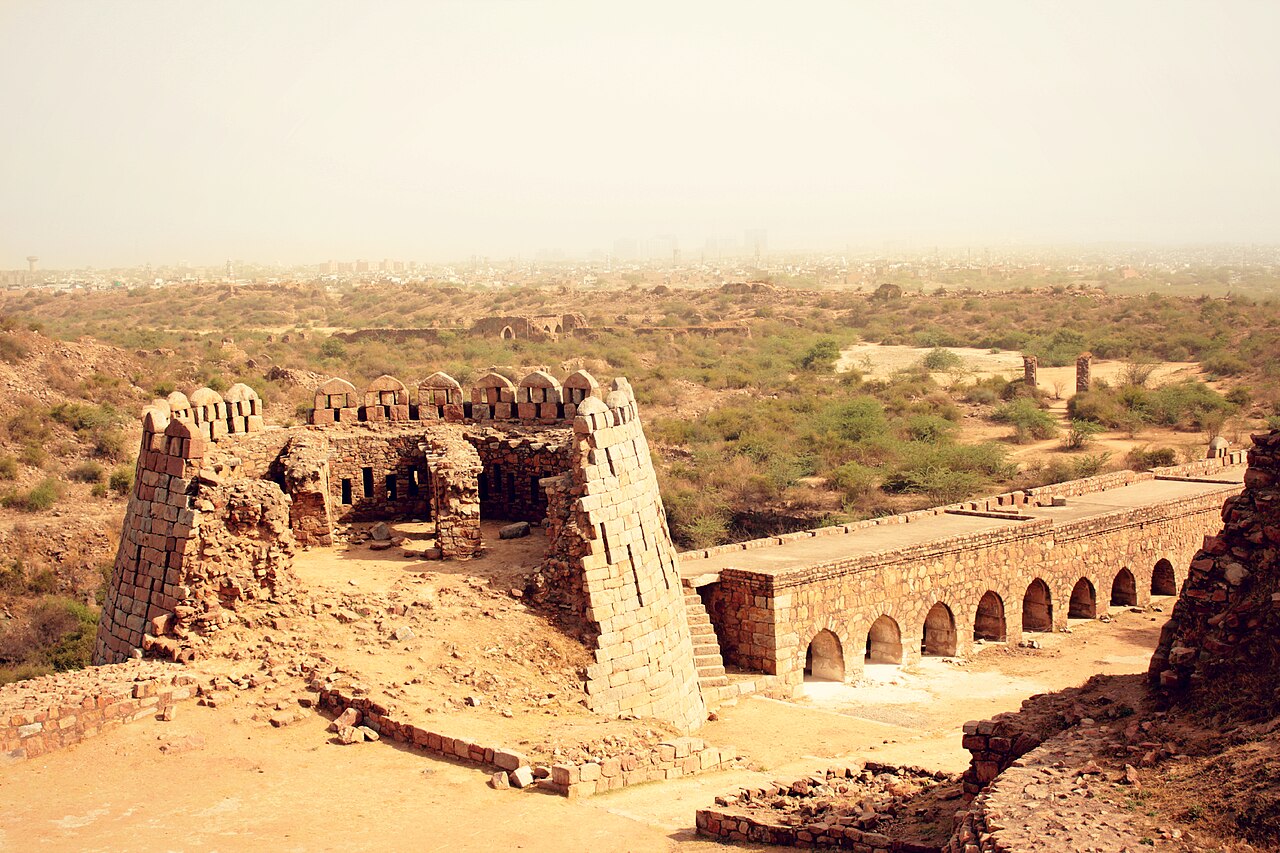
Tughlaqabad Fort
Ghiyath al-Din Tughluq · 1321
 Book
Secondary source
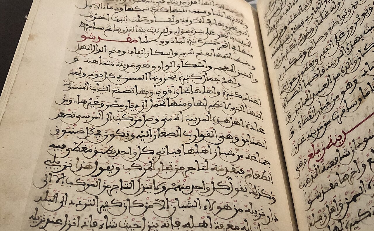
Manuscript copy of the Rihla (1484)
Ibn Juzayy · 1484
 Painting
Primary source
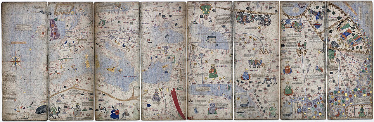
Catalan Atlas
Cresques Abraham · c. 1375
Ready when you are
Start chatting with Ibn Battuta now.
20 messages free · No credit card · Available in 50+ languages.