


Secondary sourceDocument1595
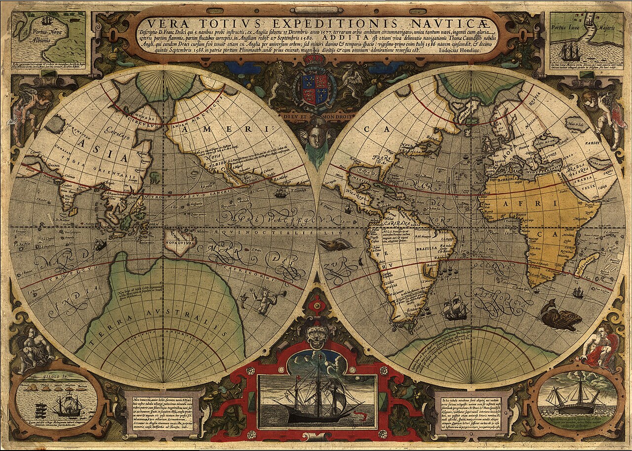
Vera Totius Expeditionis Nauticae
Jodocus Hondius I · 1595
A 1595 world map tracing the route of Drake's circumnavigation, with inset views of his ship and his landing in California.
This map records and commemorates the route of Drake's famous circumnavigation voyage.
About this source
What it is
This world map, made by Jodocus Hondius I around 1595, records the route of Francis Drake's circumnavigation of the globe between 1577 and 1580, alongside that of Thomas Cavendish's later voyage. It shows two hemispheres with decorative ships, sea monsters, a coat of arms, and corner illustrations including Drake's ship the Golden Hind and his landing at Nova Albion in present-day California.
Why it matters
Maps like this spread the story of Drake's voyage across Europe and shaped how people pictured the wider world, while also showing how little of some continents' interiors was actually known at the time. It reflects the excitement and national pride that English voyages of exploration and plunder generated.
- Why do you think the map leaves the interiors of continents blank?
- What does including images of Drake's ship on a world map suggest about his fame?
- Whose knowledge and labour made a voyage like this possible, and are they shown on the map?
This document is part of the curated material that grounds the AI version of Sir Francis Drake on Humy.ai — when students ask about related events, the AI can quote it and cite it.
More Sir Francis Drake sources
Meet the AI Sir Francis Drake →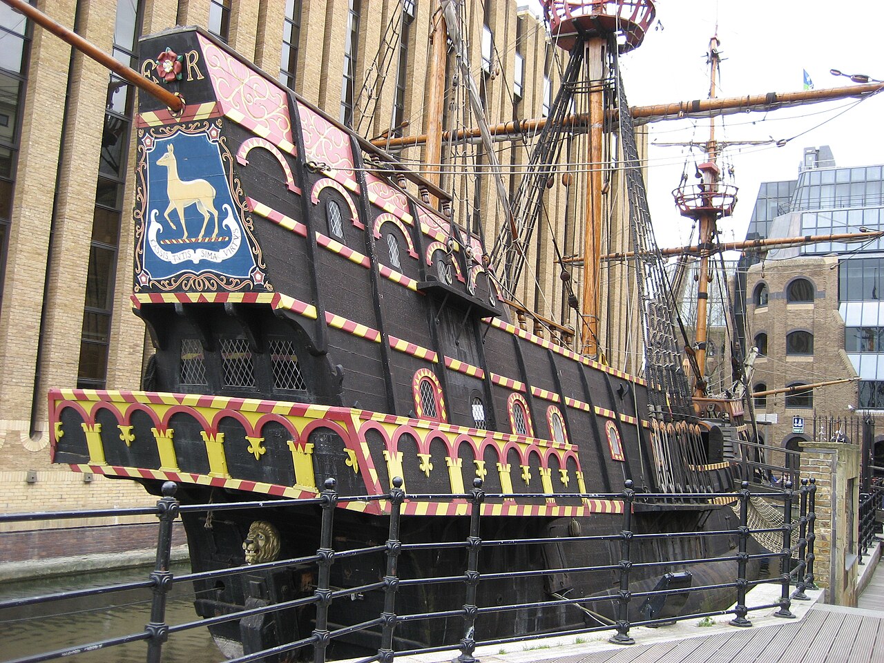 Artifact
Secondary source
Golden Hind
1575 (as Pelican); renamed 1578
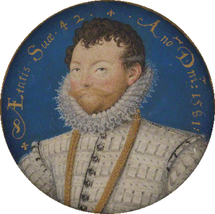 Painting
Primary source
Sir Francis Drake
Nicholas Hilliard · 1581
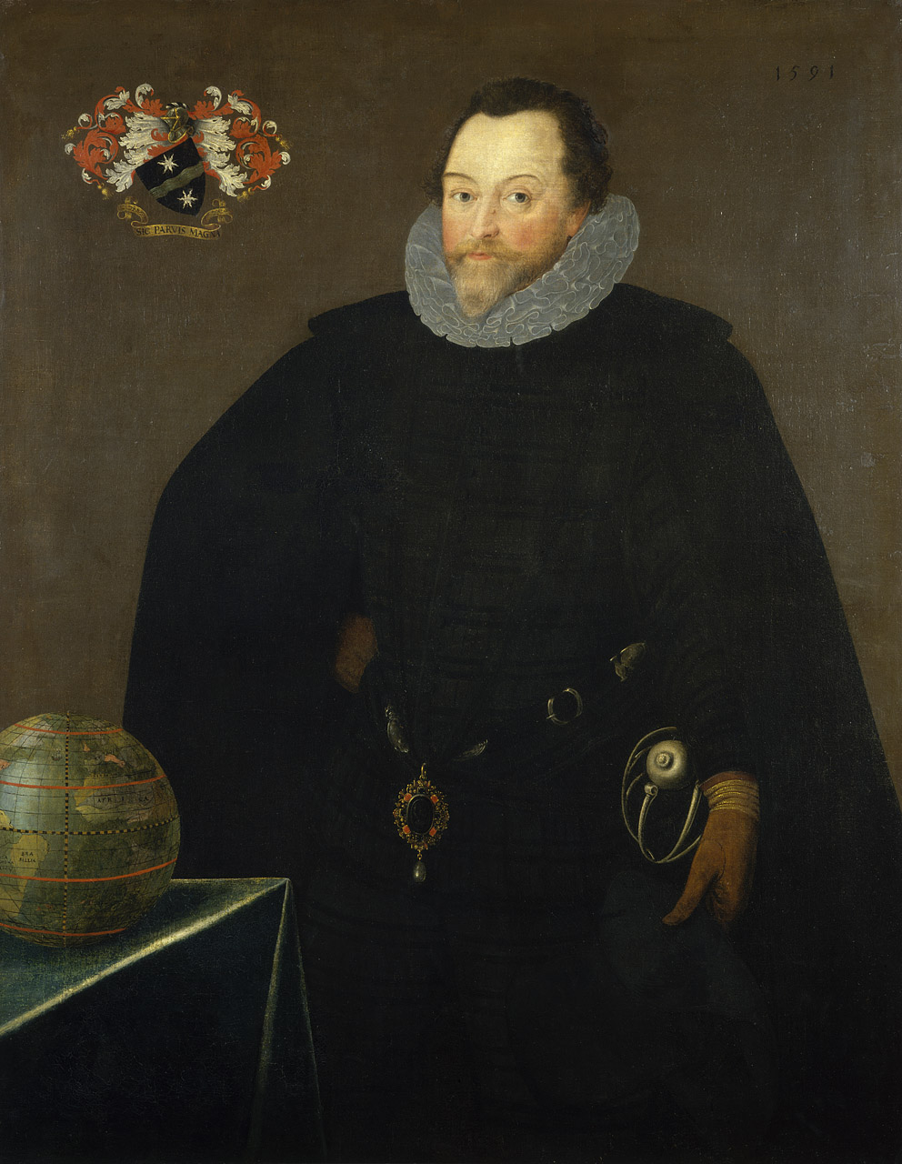 Painting
Primary source
Sir Francis Drake, 1540-96
Marcus Gheeraerts the Younger · 1591
 Painting
Primary source
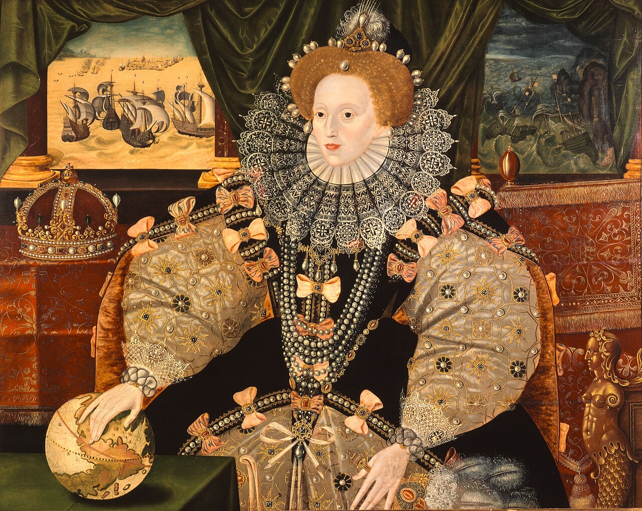
Armada Portrait
Unknown English artist · 1588
 Artifact
Primary source
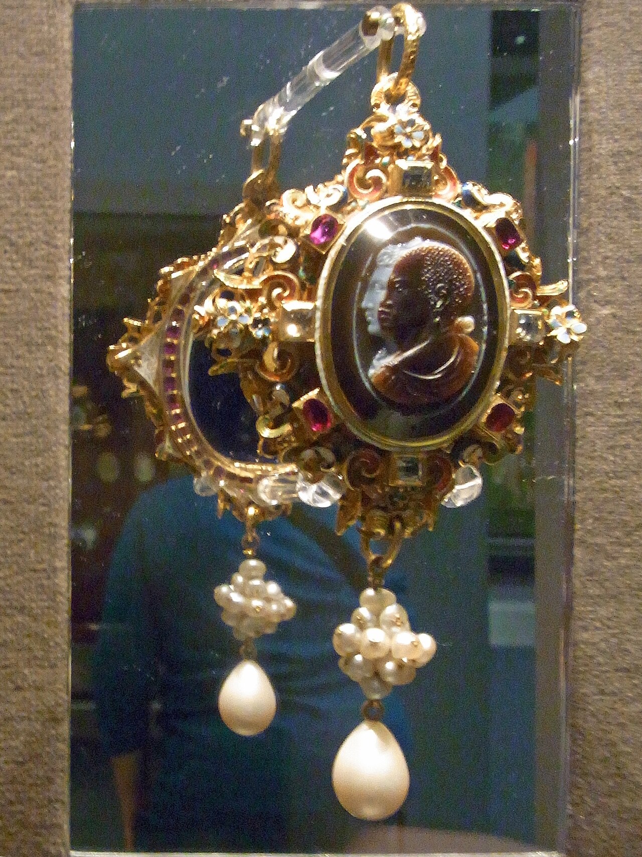
Drake Jewel
Nicholas Hilliard (miniatures); unknown goldsmith · c. 1586-88
Ready when you are
Start chatting with Sir Francis Drake now.
20 messages free · No credit card · Available in 50+ languages.