


Secondary sourcePainting1543
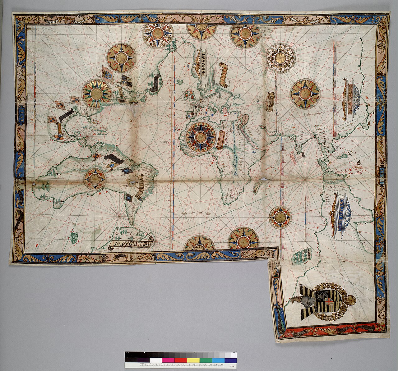
World Chart by Guillaume Brouscon
Guillaume Brouscon · 1543
A hand-painted 1543 portolan chart from the Dieppe school of mapmaking, created after Verrazzano's death within the cartographic tradition he worked in.
A later Dieppe chart showing the cartographic tradition that drew on Verrazzano's exploration of North America.
About this source
What it is
This is a hand-painted world chart on vellum made by Guillaume Brouscon in 1543, part of a portolan atlas and nautical almanac. It shows the Americas, Africa, Europe and Asia along with a large landmass labeled Terre Ostrale, decorated with compass roses, rhumb lines, flags and a coat of arms.
Why it matters
Brouscon worked within the Dieppe school of French cartography, which built on earlier voyages of exploration, including Giovanni da Verrazzano's expedition along the North American coast. Though made after Verrazzano's death, this chart shows how his findings fed into later French mapmaking and navigation.
Look closer
- How does the mapmaker show distance and direction using the lines across the chart?
- What do the decorative elements, like the flags and coat of arms, tell you about who the map was made for?
- What parts of the map are guesswork, and how can you tell?
This painting is part of the curated material that grounds the AI version of Giovanni da Verrazzano on Humy.ai — when students ask about related events, the AI can quote it and cite it.
More Giovanni da Verrazzano sources
Meet the AI Giovanni da Verrazzano →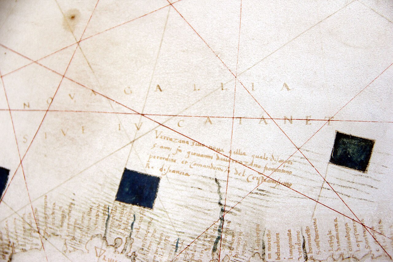 Document
Primary source
Carte Canada Nova-Gallia par Verrazzano
Girolamo da Verrazzano · 1529
 Document
Primary source
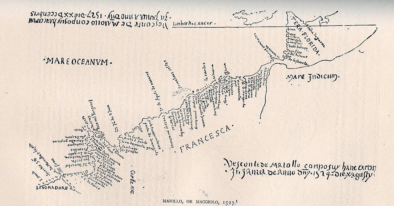
Tera Florida Map
Vesconte Maggiolo · 1527
 Artifact
Secondary source
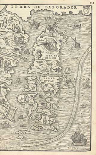
La Nuova Francia
Giacomo Gastaldi · 1556
 Document
Primary source
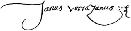
Signature of Giovanni da Verrazzano
Giovanni da Verrazzano · 1526
 Artifact
Secondary source
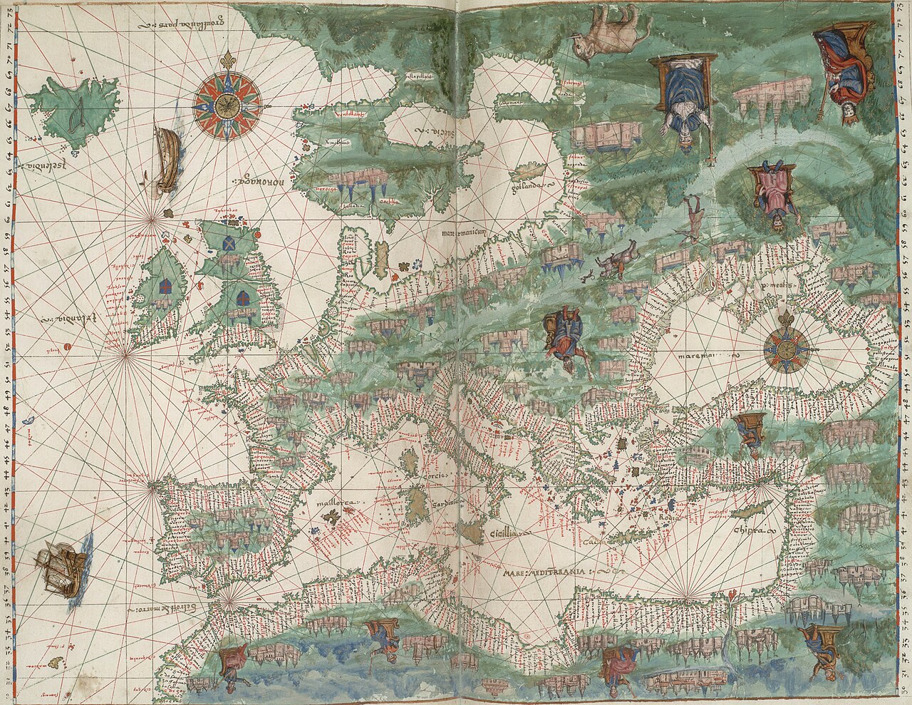
Vallard Atlas
1547
Ready when you are
Start chatting with Giovanni da Verrazzano now.
20 messages free · No credit card · Available in 50+ languages.