


Primary sourceDocument1586
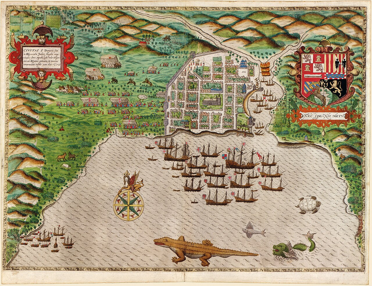
Boazio Map of Santo Domingo
Giovanni Battista Boazio · 1586
A map depicting the 1586 landing and occupation of Santo Domingo, part of Francis Drake's Caribbean campaign.
Depicts the 1586 landing and occupation of Santo Domingo, part of Drake's Caribbean campaign.
About this source
What it is
This colored engraved map shows the walled city of Santo Domingo, with a harbor full of ships and decorative elements like sea monsters and a coat of arms. It was created by Giovanni Battista Boazio.
Why it matters
The map documents the first major blow of Francis Drake's 1586 Caribbean campaign, the occupation of Santo Domingo. It highlights the strategic and symbolic importance of such conquests to European powers.
Look closer
- What can you infer about the city's defenses from the map's details?
- Why might the artist choose to include a coat of arms on this map?
- What does this map not show about the people living in Santo Domingo during the occupation?
This document is part of the curated material that grounds the AI version of Sir Francis Drake on Humy.ai — when students ask about related events, the AI can quote it and cite it.
More Sir Francis Drake sources
Meet the AI Sir Francis Drake →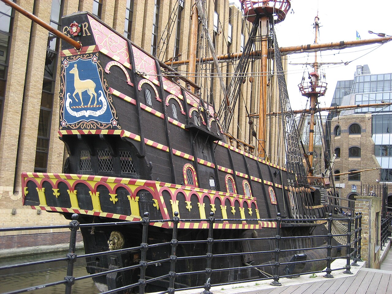 Artifact
Secondary source
Golden Hind
1575 (as Pelican); renamed 1578
 Painting
Primary source
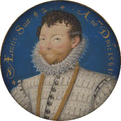
Sir Francis Drake
Nicholas Hilliard · 1581
 Painting
Primary source
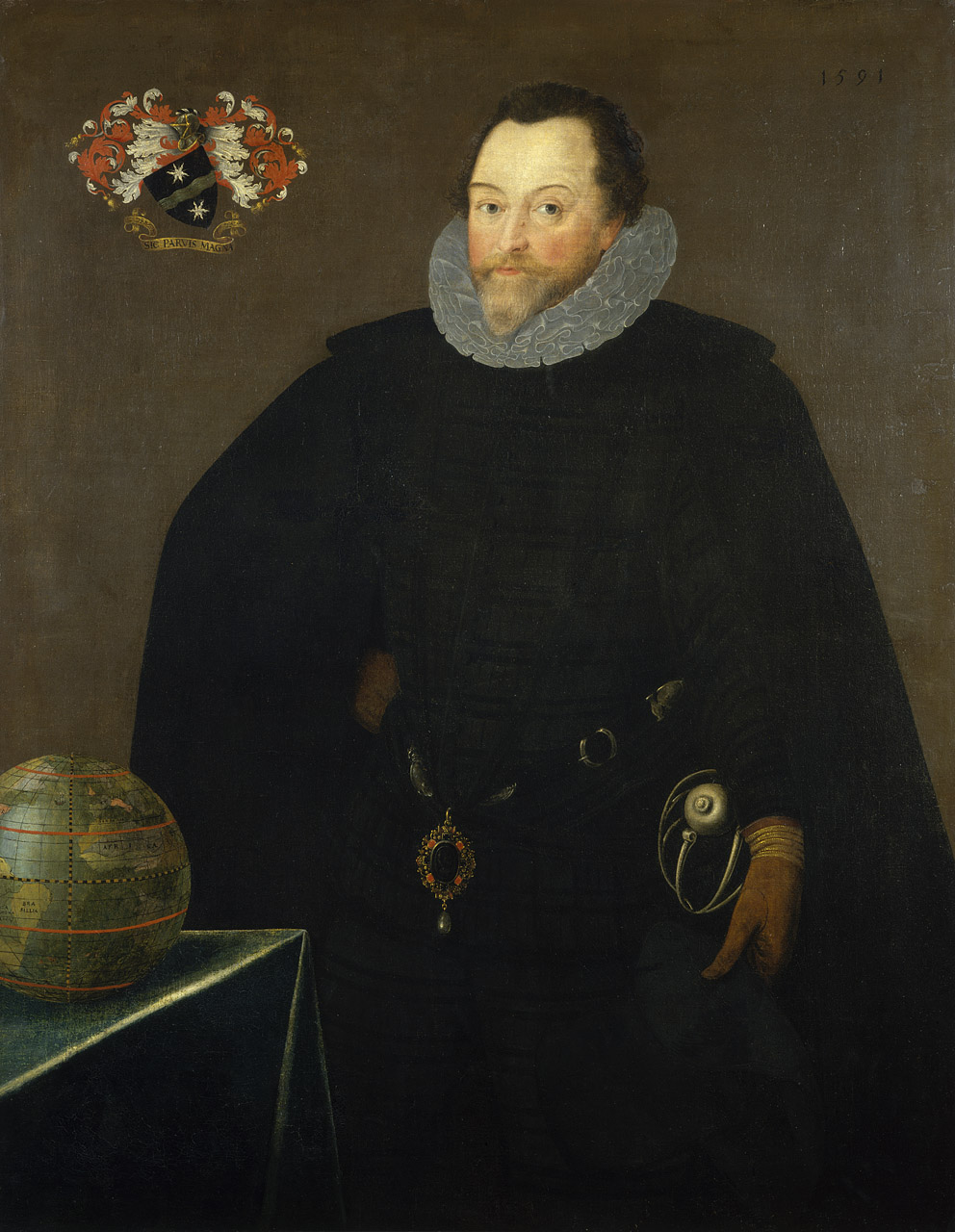
Sir Francis Drake, 1540-96
Marcus Gheeraerts the Younger · 1591
 Document
Secondary source
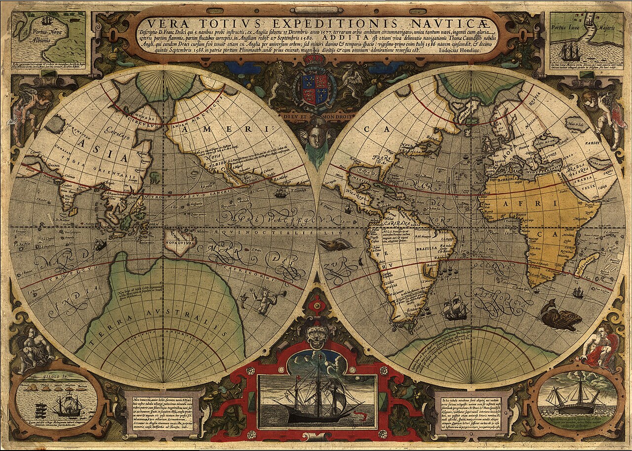
Vera Totius Expeditionis Nauticae
Jodocus Hondius I · 1595
 Painting
Primary source
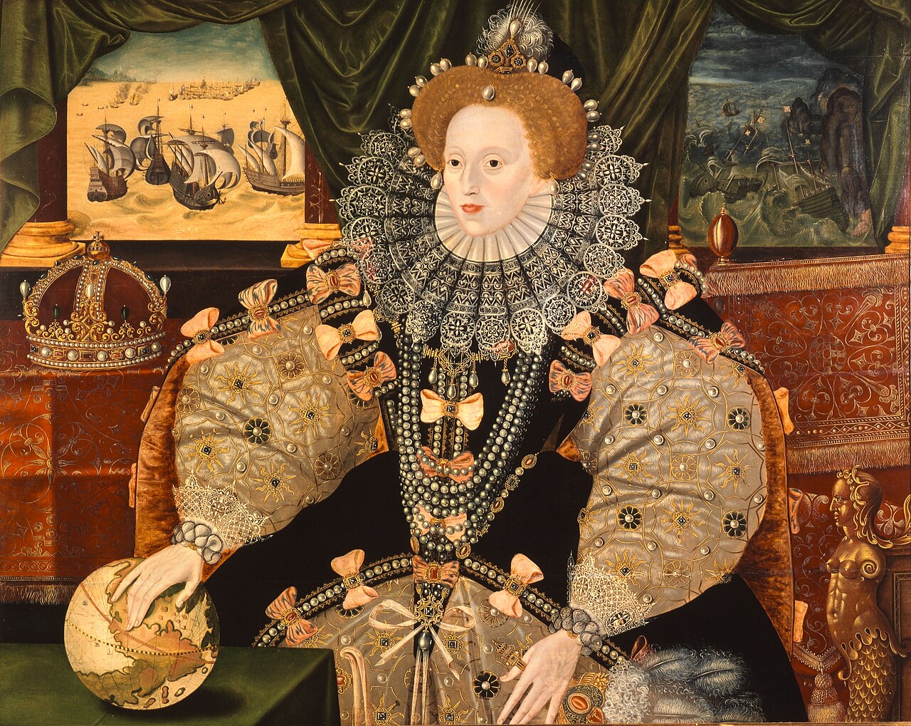
Armada Portrait
Unknown English artist · 1588
Ready when you are
Start chatting with Sir Francis Drake now.
20 messages free · No credit card · Available in 50+ languages.