


Primary sourceDocument
James Watt's Survey of the River Clyde
James Watt
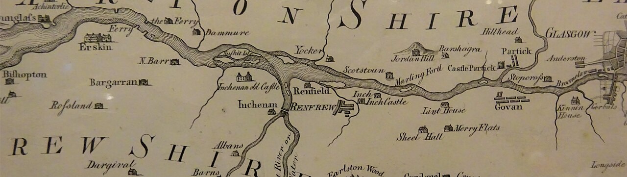
A map survey of the River Clyde made by James Watt during his years as a surveyor and civil engineer.
This survey shows Watt's early career as a working surveyor before his fame as an engineer.
About this source
What it is
This is a map survey of the River Clyde, showing its course through Renfrewshire and Lanarkshire with places such as Renfrew, Erskine, Partick and Glasgow marked, and the islands of the Clyde illustrated. It was made by James Watt.
Why it matters
Before Watt became famous for his steam engines, financial need led him to work as a surveyor and civil engineer. This map is evidence of that less well-known part of his career, showing his practical, technical skills applied to geography and engineering rather than machines.
Look closer
- What details on the map show the skill needed to make an accurate survey without modern tools?
- Why might Watt have needed this kind of work at this point in his life?
- What does this map leave out that a steam-engine diagram would show instead?
This document is part of the curated material that grounds the AI version of James Watt on Humy.ai — when students ask about related events, the AI can quote it and cite it.
More James Watt sources
Meet the AI James Watt →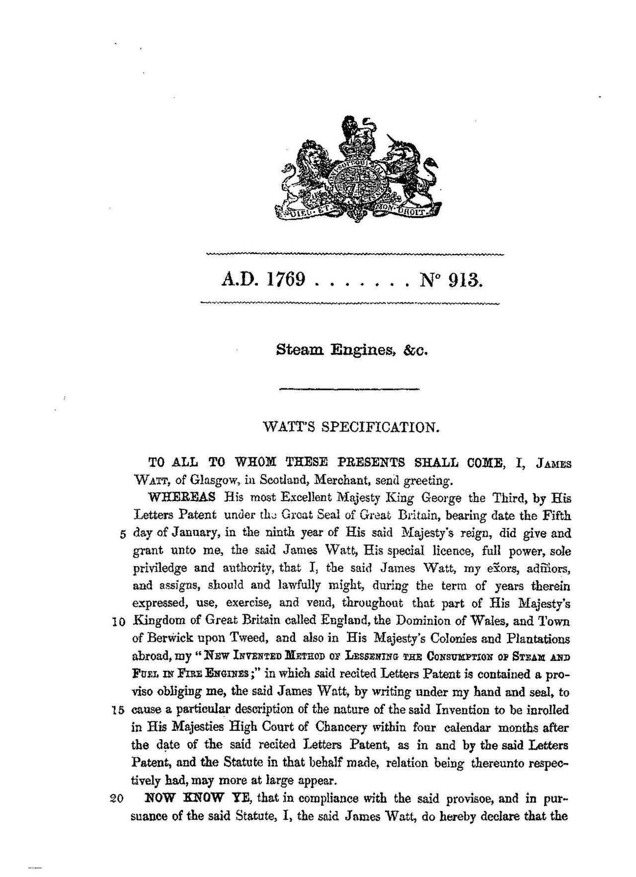 Document
Primary source
James Watt Patent No. 913
James Watt · 1769 (reprinted 1855)
 Artifact
Primary source
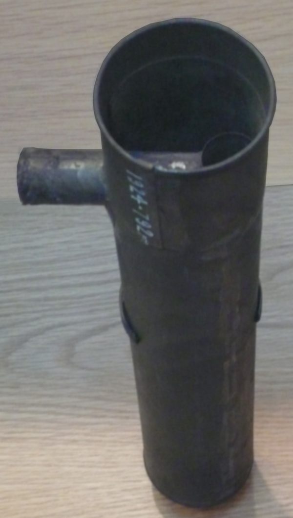
Watt's First Condenser
James Watt · c. 1765
 Artifact
Primary source
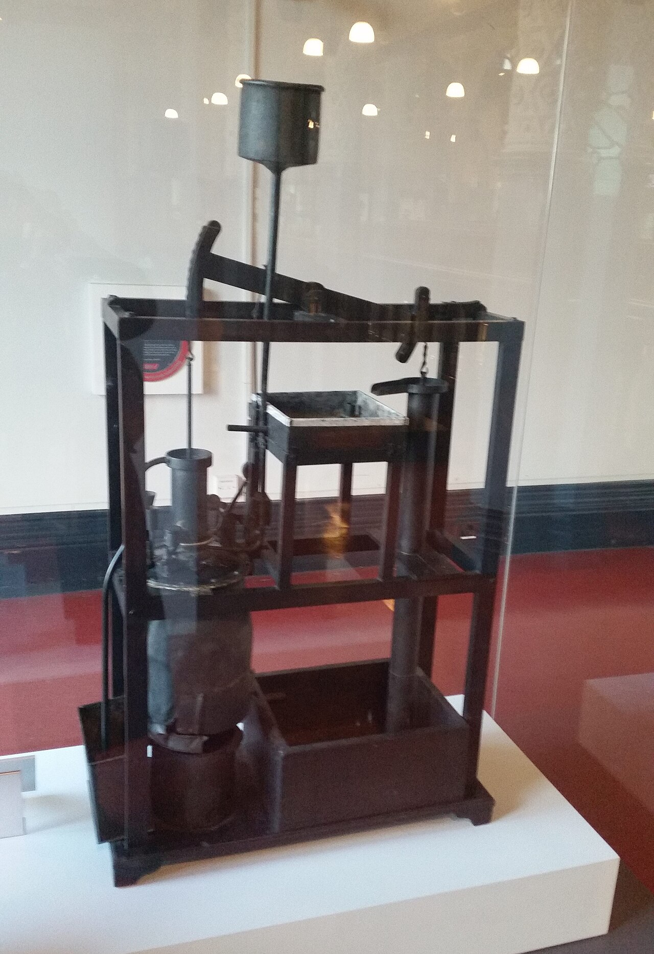
Model Newcomen Engine Repaired by James Watt
Unknown maker (repaired by James Watt) · c. 1760
 Artifact
Primary source
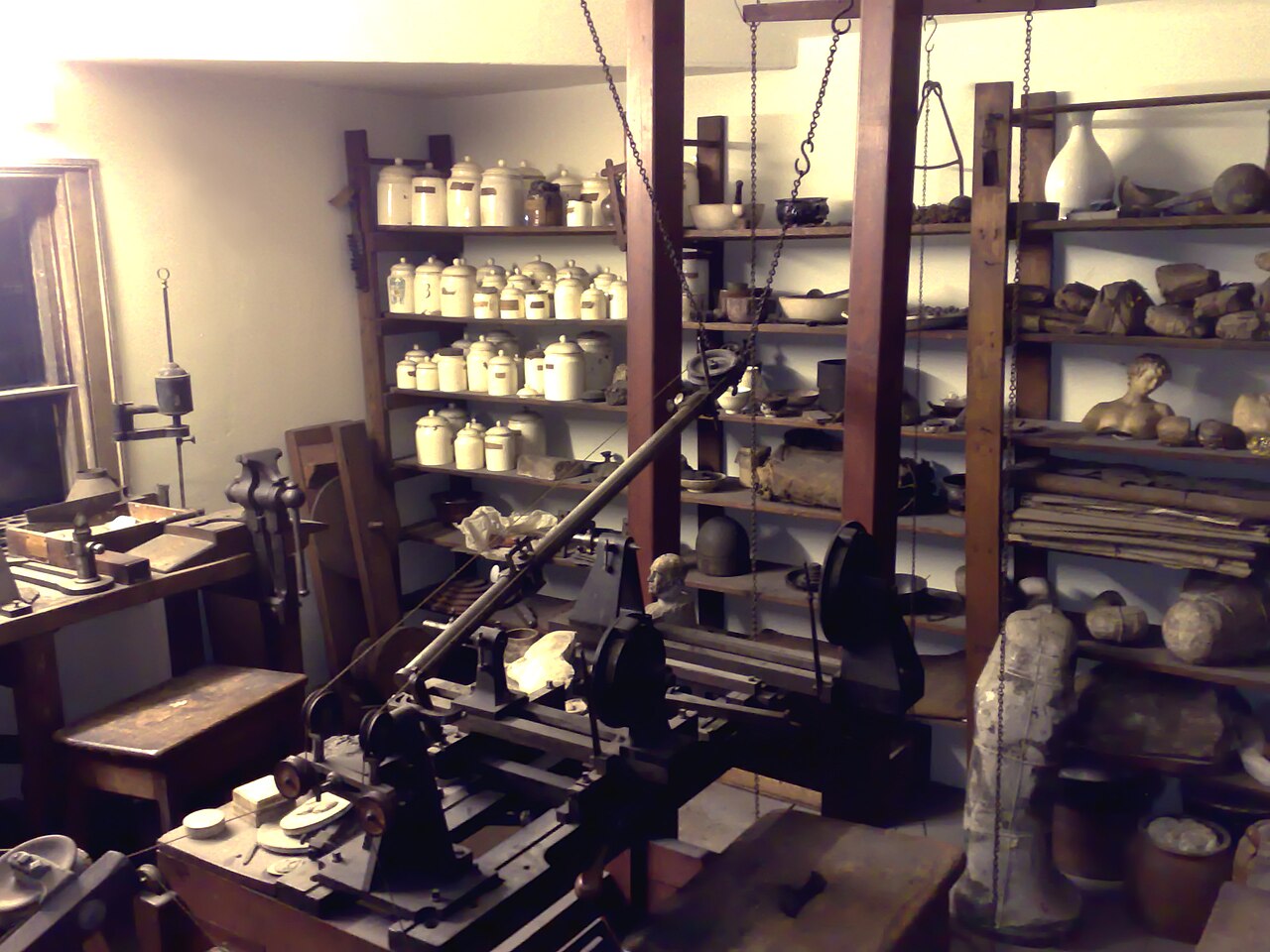
James Watt's Workshop
 Artifact
Primary source
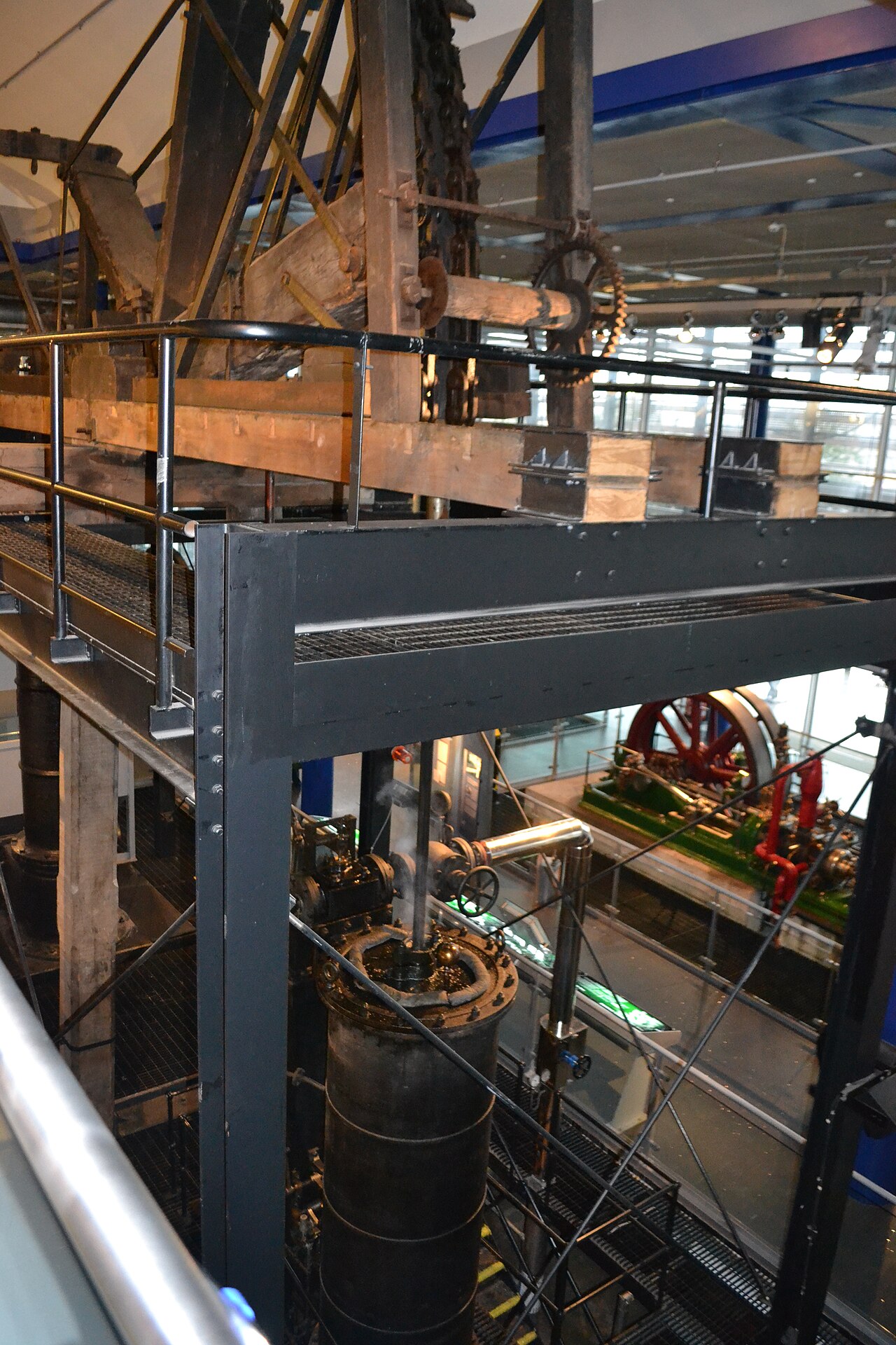
Smethwick Engine
James Watt · 1779
Ready when you are
Start chatting with James Watt now.
20 messages free · No credit card · Available in 50+ languages.