


Primary sourceDocument1589
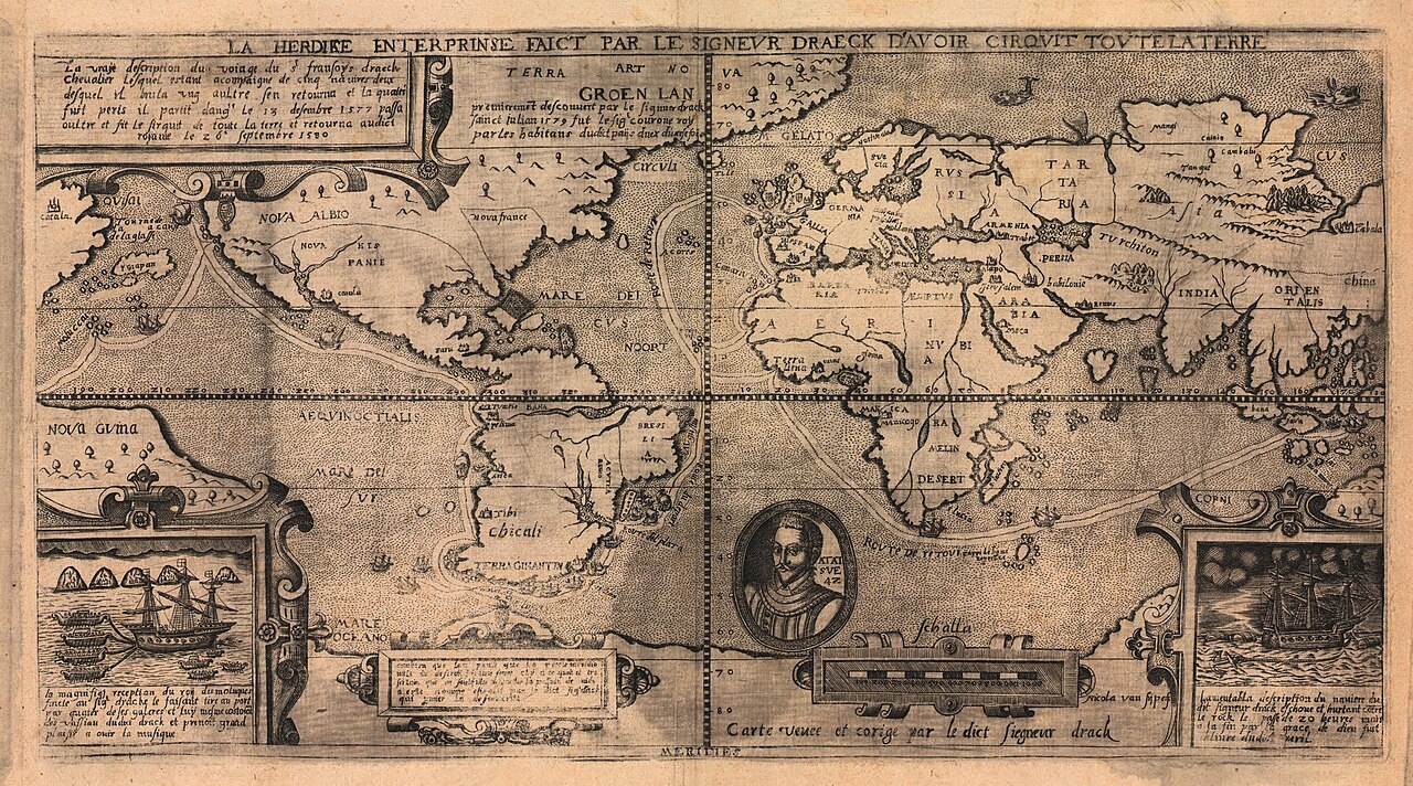
La herdike enterprinse faict par le Signeur Draeck
Nicola van Sype · 1589
An early printed map showing Francis Drake's circumnavigation route, reportedly checked by Drake himself.
Depicts Drake's circumnavigation route, reportedly checked by Drake himself, showing his fame as a navigator.
About this source
What it is
This engraved double-hemisphere world map, created by Nicola van Sype, shows the route of Francis Drake's circumnavigation of the globe. It features a central portrait, decorative cartouches, and labels in Latin and Dutch.
Why it matters
The map is significant as it reportedly was 'seen and corrected' by Drake himself, highlighting his fame in Europe following his circumnavigation. It serves as a testament to the geographical knowledge and cartographic skills of the time.
Look closer
- What does the inclusion of a portrait suggest about the map's purpose beyond navigation?
- Why might the map include both Latin and Dutch text?
- What geographical inaccuracies might you find when comparing this map to modern maps?
This document is part of the curated material that grounds the AI version of Sir Francis Drake on Humy.ai — when students ask about related events, the AI can quote it and cite it.
More Sir Francis Drake sources
Meet the AI Sir Francis Drake →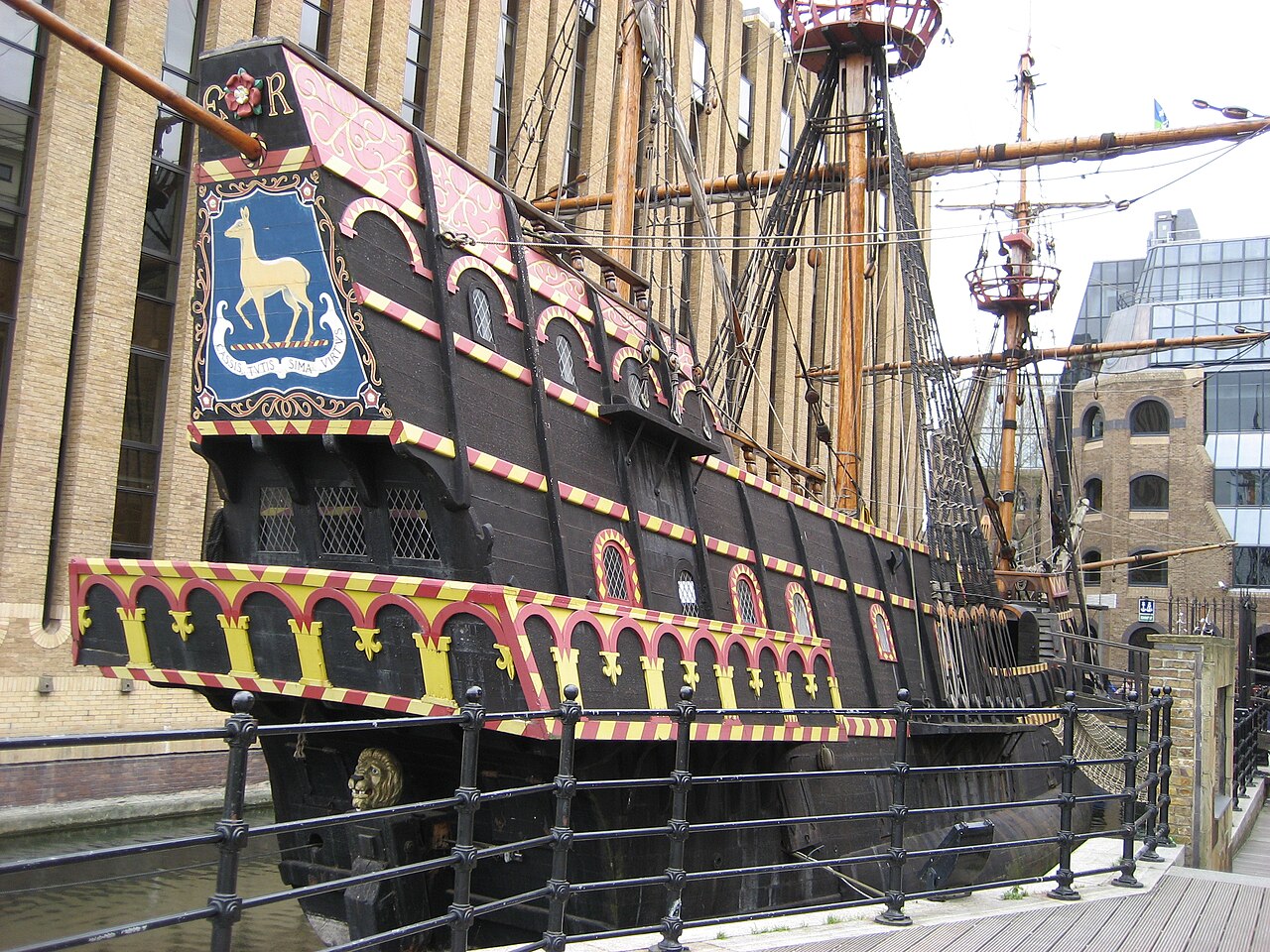 Artifact
Secondary source
Golden Hind
1575 (as Pelican); renamed 1578
 Painting
Primary source
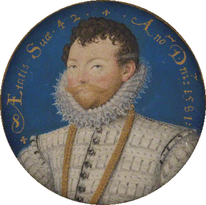
Sir Francis Drake
Nicholas Hilliard · 1581
 Painting
Primary source
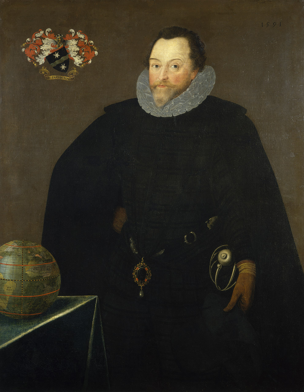
Sir Francis Drake, 1540-96
Marcus Gheeraerts the Younger · 1591
 Document
Secondary source
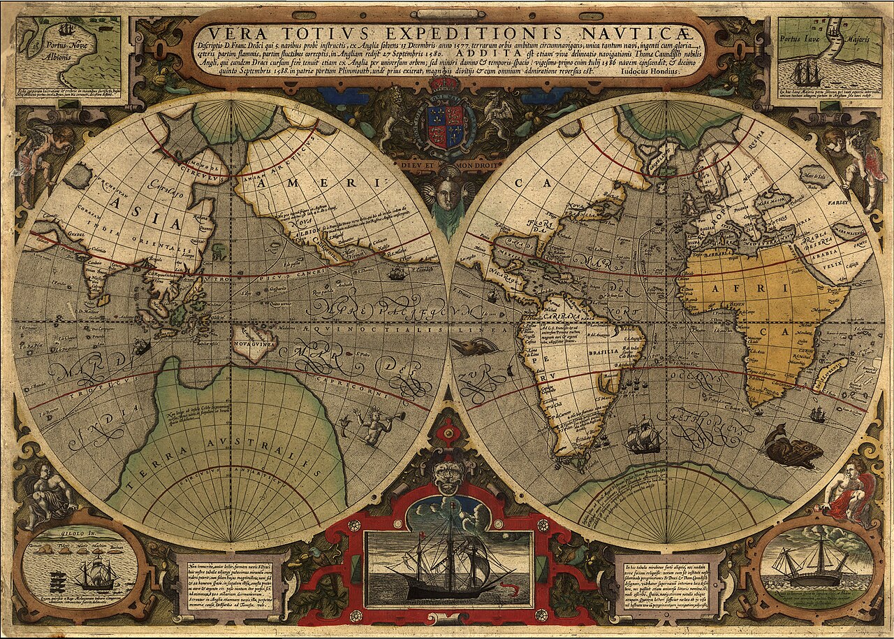
Vera Totius Expeditionis Nauticae
Jodocus Hondius I · 1595
 Painting
Primary source
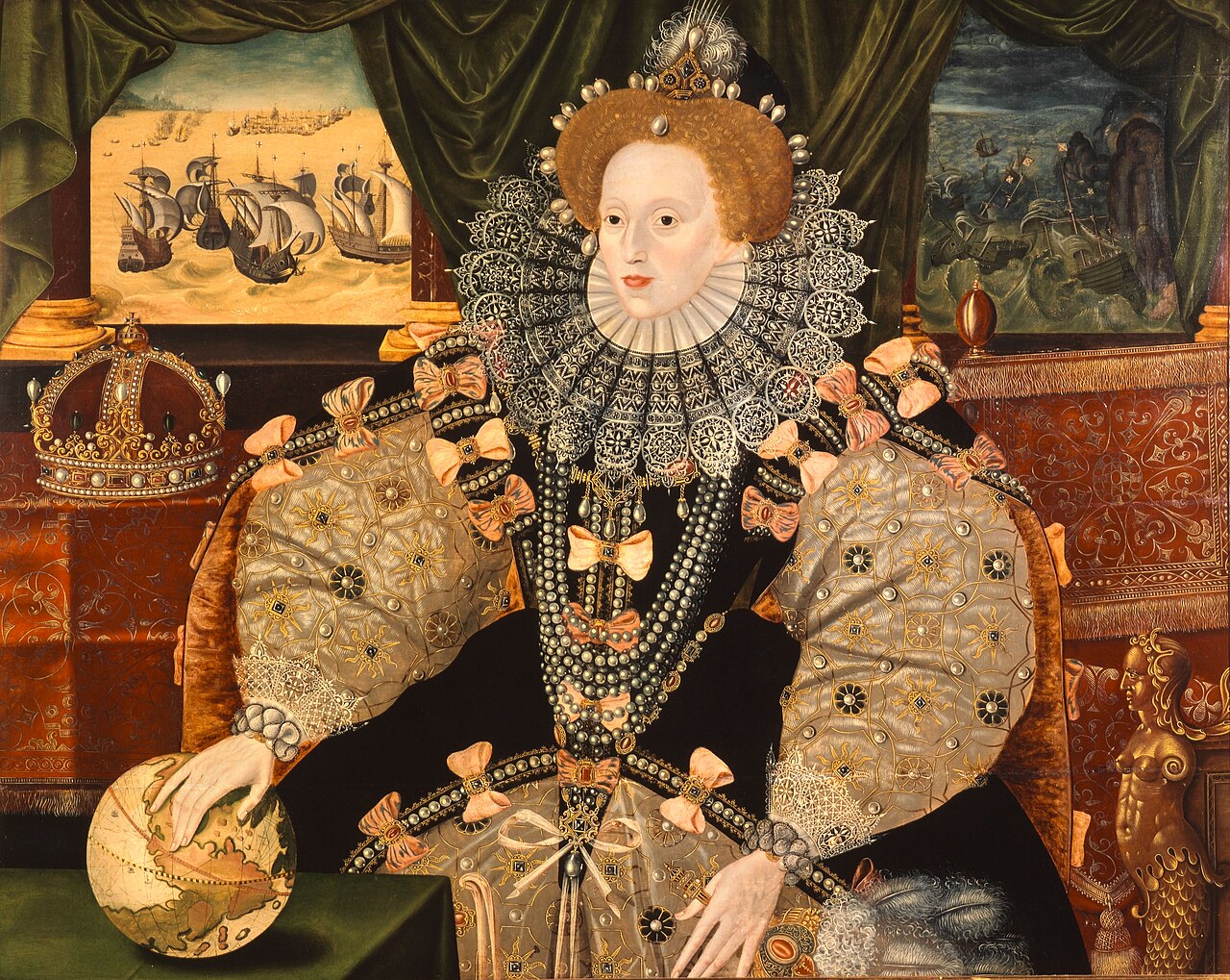
Armada Portrait
Unknown English artist · 1588
Ready when you are
Start chatting with Sir Francis Drake now.
20 messages free · No credit card · Available in 50+ languages.