


Primary sourceArtifactc. 1590
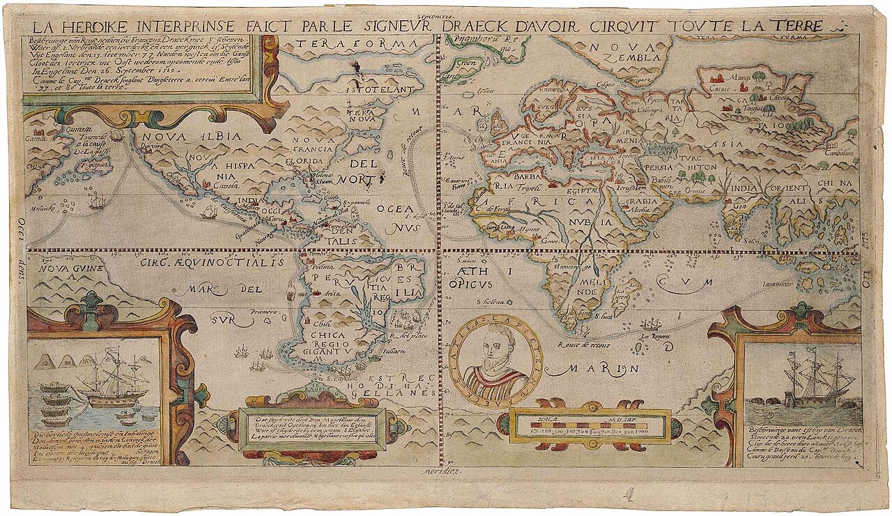
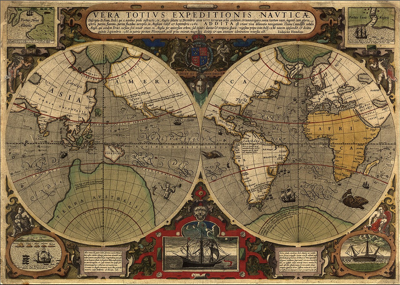
Map of Francis Drake's Circumnavigation, 1577–1580
c. 1590
A hand-coloured engraved world map tracing the route of Drake's voyage around the globe, printed around 1590.
The map records and publicized Drake's famous circumnavigation voyage of 1577-1580.
About this source
What it is
This engraved and hand-coloured world map, made by an unknown printmaker around 1590, shows the route Francis Drake sailed on his circumnavigation of the globe between 1577 and 1580. It has a Latin title, two hemispheres, decorative cartouches, a central portrait medallion, ships and sea monsters.
Why it matters
Maps like this spread news of Drake's voyage across Europe in print, turning his journey into a famous and widely known achievement. The decorative sea monsters and ships show how mapmakers combined real geographic information with imaginative decoration.
Look closer
- Why might the mapmaker have included a portrait medallion and decorative ships?
- What does the wide printing of this map tell you about how news traveled in the 1500s?
- What parts of the map are accurate, and what parts are decorative or imagined?
This artifact is part of the curated material that grounds the AI version of Sir Francis Drake on Humy.ai — when students ask about related events, the AI can quote it and cite it.
More Sir Francis Drake sources
Meet the AI Sir Francis Drake →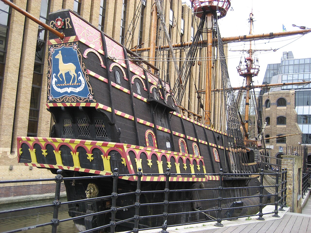 Artifact
Secondary source
Golden Hind
1575 (as Pelican); renamed 1578
 Painting
Primary source
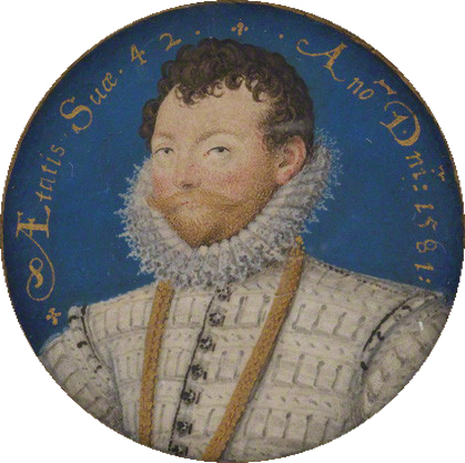
Sir Francis Drake
Nicholas Hilliard · 1581
 Painting
Primary source
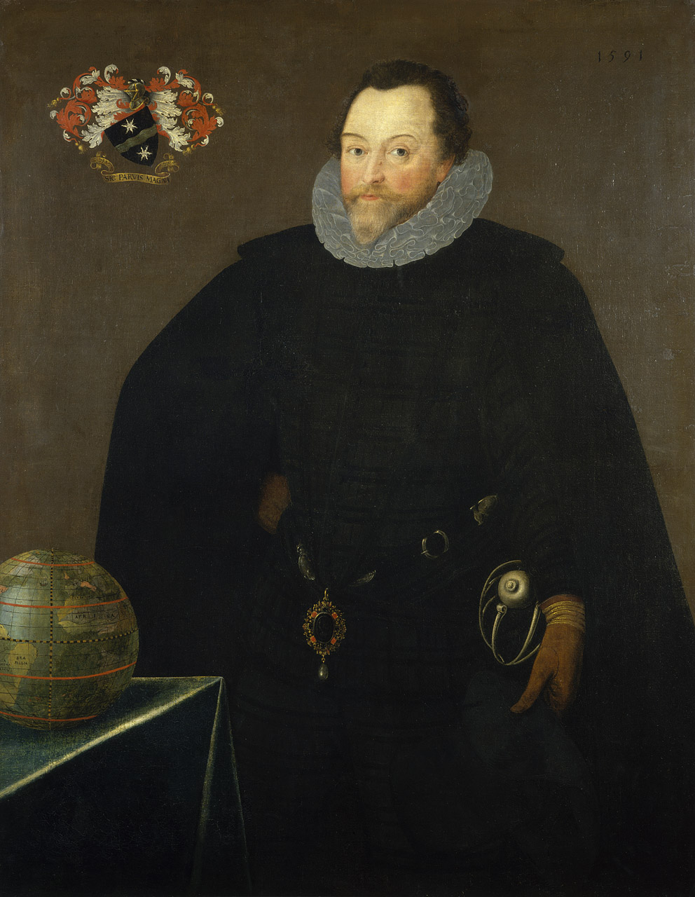
Sir Francis Drake, 1540-96
Marcus Gheeraerts the Younger · 1591
 Document
Secondary source
Vera Totius Expeditionis Nauticae
Jodocus Hondius I · 1595
 Painting
Primary source
Armada Portrait
Unknown English artist · 1588
Ready when you are
Start chatting with Sir Francis Drake now.
20 messages free · No credit card · Available in 50+ languages.