


Secondary sourceDocument2007-07-07
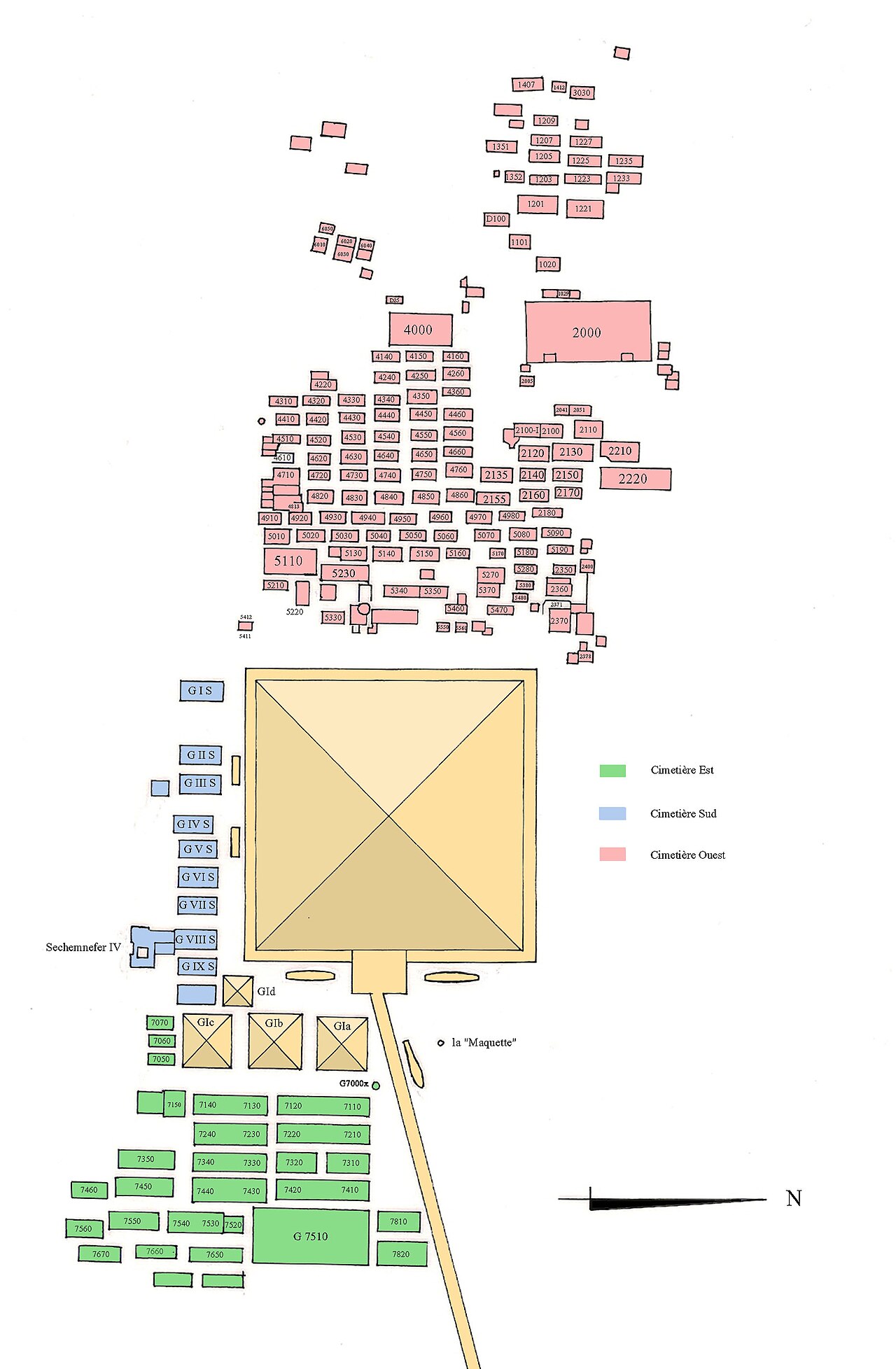
Map of the Necropolis of Khufu's Pyramid Complex at Giza
Franck Monnier · 2007-07-07
A modern colour-coded map showing the layout of tombs and cemeteries surrounding Khufu's Great Pyramid at Giza.
Shows the full funerary complex built around Khufu's pyramid, illustrating the scale of his commissioned monument.
About this source
What it is
This is a modern plan by Franck Monnier, made in 2007, showing the necropolis built around the Great Pyramid of Khufu at Giza. It marks the East, South, and West cemeteries with colour-coding, each containing numbered tombs and mastabas.
Why it matters
The map helps show how Khufu's pyramid was the center of a huge funerary complex, surrounded by the burials of officials and family members. It reflects how ancient Egyptian kings organized the afterlife world around themselves, with their tomb at the heart of a whole city of the dead.
Look closer
- Why might tombs for officials be arranged so close to the king's pyramid?
- What does the number of surrounding tombs suggest about the scale of Khufu's project?
- How might archaeologists have reconstructed this layout today?
This document is part of the curated material that grounds the AI version of Pharaoh Khufu (Cheops) on Humy.ai — when students ask about related events, the AI can quote it and cite it.
More Pharaoh Khufu (Cheops) sources
Meet the AI Pharaoh Khufu (Cheops) →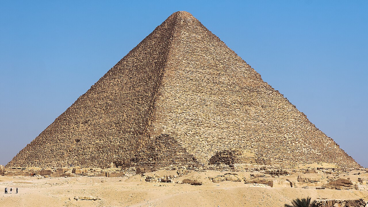 Artifact
Primary source
Great Pyramid of Giza
c. 2560 BCE
 Photograph
Secondary source
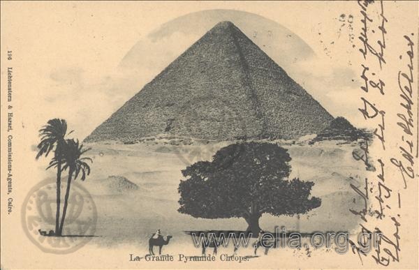
La Grande Pyramide Cheops
1903
 Sculpture
Primary source
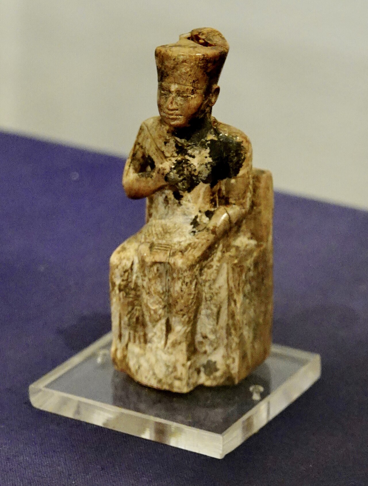
Khufu Statuette
c. 2600–2494 BCE (possibly later, 664–525 BCE)
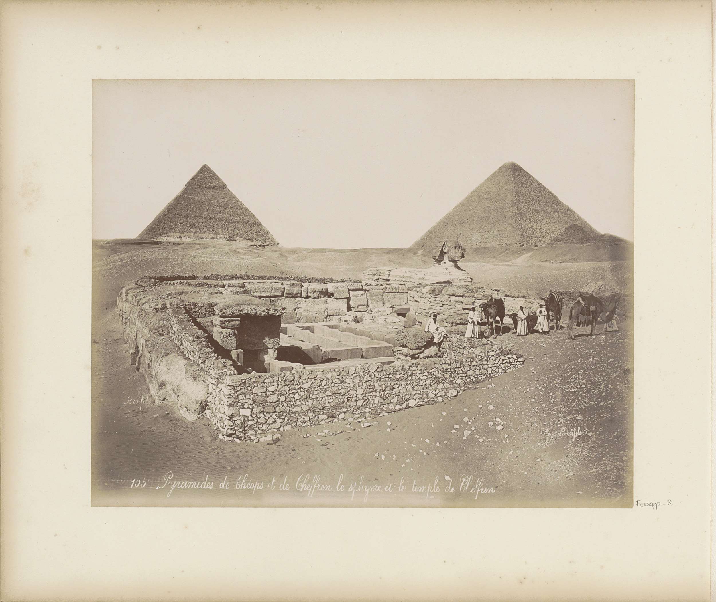 Photograph
Secondary source
Pyramids of Cheops and Chephren and the Sphinx at Giza
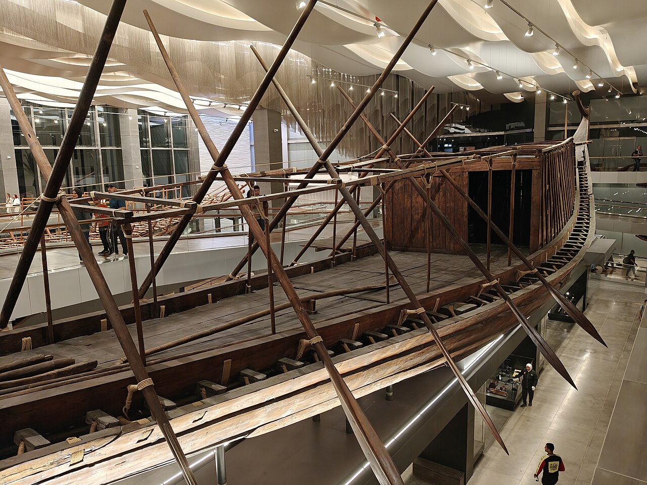 Artifact
Primary source
Khufu ship
Royal shipwrights of Khufu · c. 2566 BCE
Ready when you are
Start chatting with Pharaoh Khufu (Cheops) now.
20 messages free · No credit card · Available in 50+ languages.