


Secondary sourceBook1482
Ulm Cosmographia
Lienhart Holle, after Ptolemy and Nicolaus Germanus · 1482
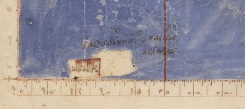
A 1482 printed edition of Ptolemy's Geography with hand-colored woodcut maps, the first such edition printed north of the Alps.
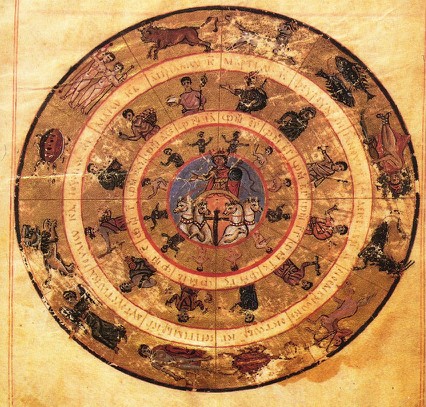
This printed edition presents Ptolemy's ancient Geography, reshaped by later editors for Renaissance readers.
Free Humy account · No credit card · 53,307 sources to read
About this source
What it is
This is a 1482 printed book based on Ptolemy's ancient Geography, produced in Ulm by the printer Lienhart Holle using an updated recension by Nicolaus Germanus. It contains woodcut maps, including a world map, and was the first atlas colored in-house before sale. Copies survive in collections such as the Library of Congress.
Why it matters
This edition shows how printing spread ancient geography across Europe over a thousand years after Ptolemy wrote his original text. Nicolaus Germanus updated the maps with newer information about places like Scandinavia, showing how later scholars reworked Ptolemy's ideas rather than copying them exactly.
Look closer
- What details on the map come from Ptolemy, and what might be added later knowledge?
- Why would a printer color maps before selling them?
- What does this book show about how ancient ideas traveled and changed over centuries?
This book is part of the curated material that grounds the AI version of Ptolemy on Humy.ai — when students ask about related events, the AI can quote it and cite it.
More Ptolemy sources
Browse all 99 →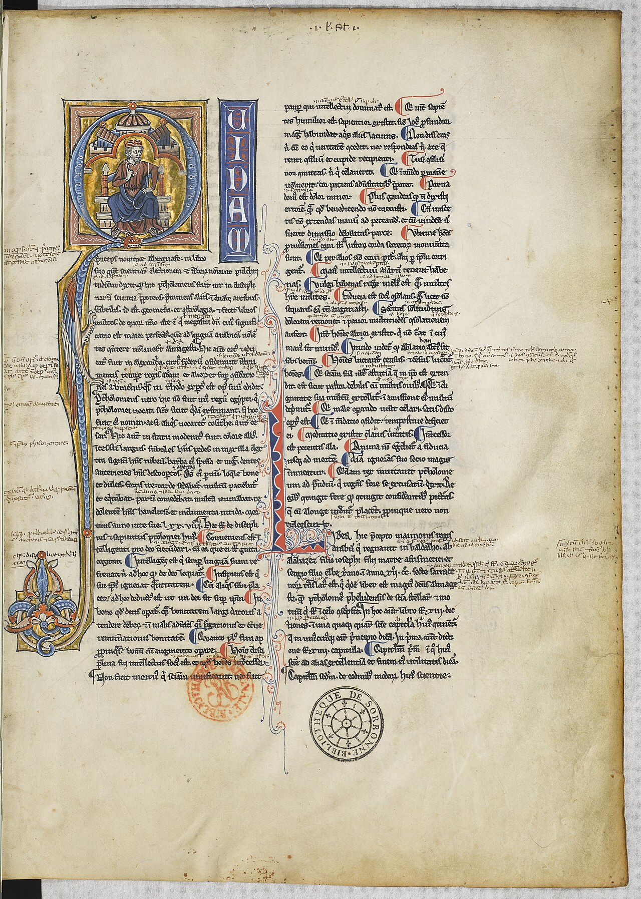 Book
Secondary source
Almagest
Ptolemy · c. 148-150
 Book
Primary source
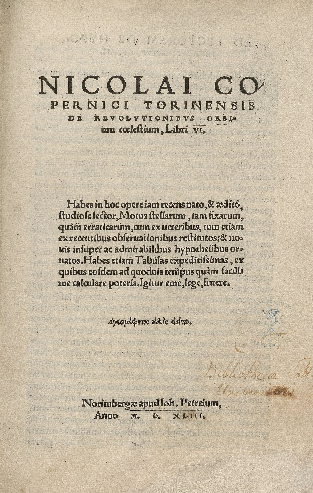
Geography
Ptolemy · c. 150 AD
 Artifact
Secondary source
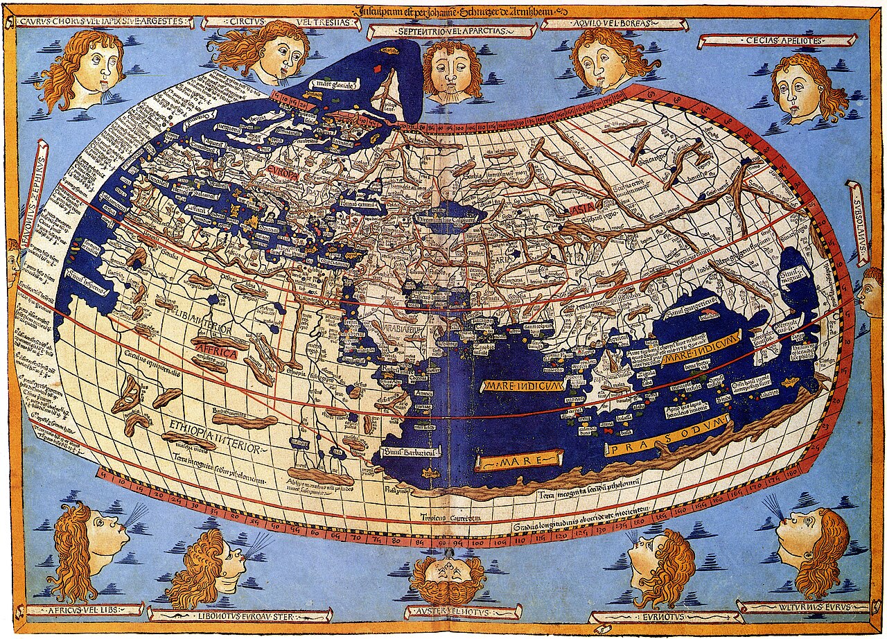
Ptolemy's World Map
Ptolemy · c. 150 AD (reconstructed after 1295)
 Book
Primary source
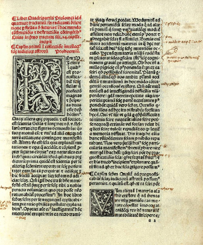
Tetrabiblos
Ptolemy · c. 2nd century AD
Free account
Browse every Ptolemy source
Sign up free →
Ready when you are
Start chatting with Ptolemy now.
20 messages free · No credit card · Available in 50+ languages.