


Secondary sourcePhotograph
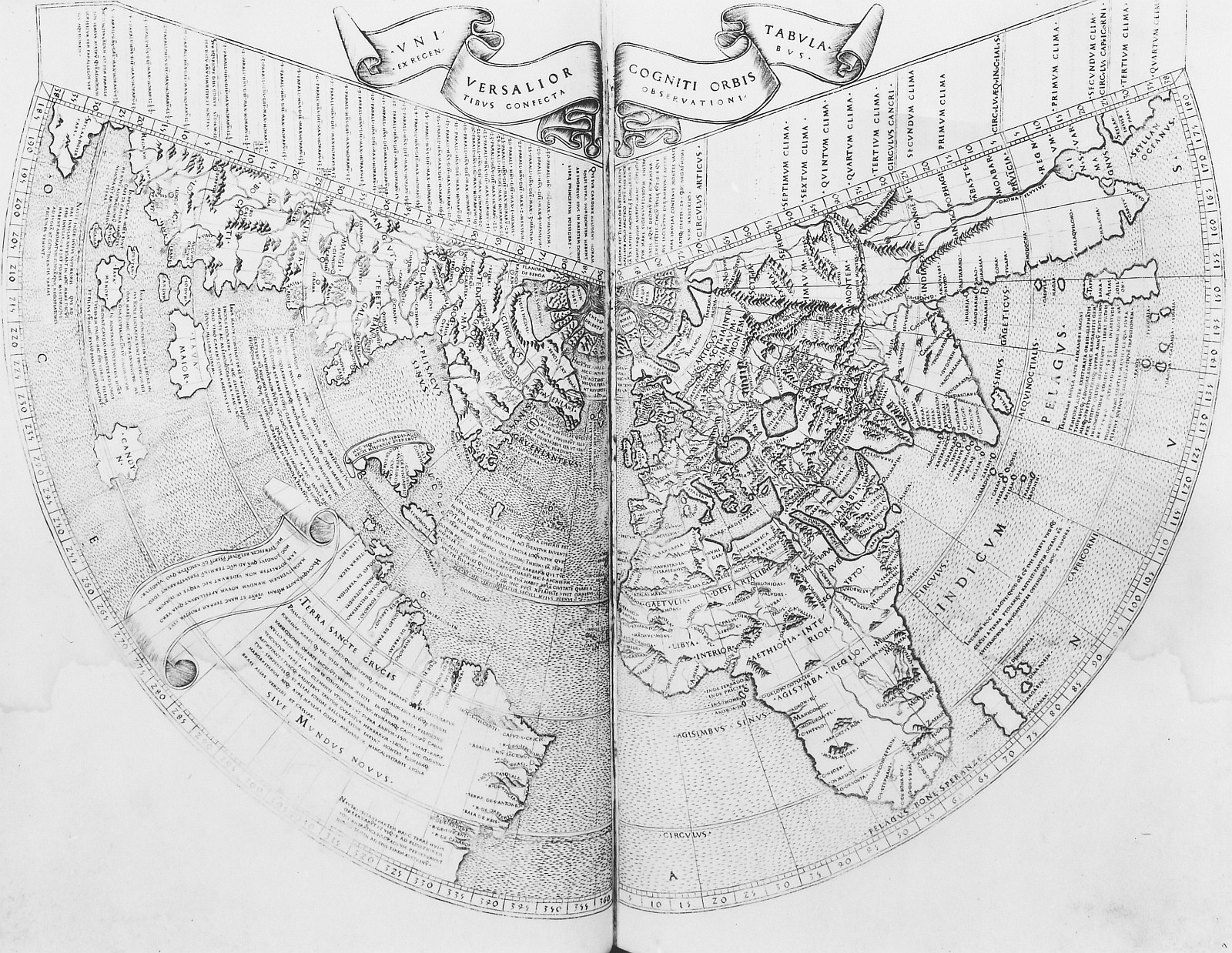
Universalior Cogniti Orbis Tabula
Irene Godenschweg
A photograph of a world map from a Ptolemaic Geographia edition, showing the known world as Ptolemy's tradition described it.
This photograph reproduces a world map from a Ptolemaic Geographia edition, the kind of work credited to Ptolemy.
About this source
What it is
This is a photograph of a black and white engraved world map titled 'Universalior Cogniti Orbis Tabula' (A more universal map of the known world). It reproduces the map from a Ptolemaic Geographia edition. The Deutsche Fotothek in Germany holds the record, and the photograph was taken by Irene Godenschweg. The image shows coastlines, mountain hatching, rhumb lines, latitude scales and many place names.
Why it matters
This map represents the whole known world as Ptolemy's tradition pictured it. Because the record is a photograph of a later printed edition, students see the map at second hand, not the original sheet. It shows how a single geographic work could be reprinted and studied across Europe.
Look closer
- Which parts of the world are drawn in the most detail, and which are sketched or left blank?
- Why would the mapmaker include rhumb lines and scale bars on a world map?
- What does this map leave out that you would expect on a modern world map?
This photograph is part of the curated material that grounds the AI version of Ptolemy on Humy.ai — when students ask about related events, the AI can quote it and cite it.
More Ptolemy sources
Browse all 99 → Book
Secondary source
Almagest
Ptolemy · c. 148-150
 Book
Primary source
Geography
Ptolemy · c. 150 AD
 Artifact
Secondary source
Ptolemy's World Map
Ptolemy · c. 150 AD (reconstructed after 1295)
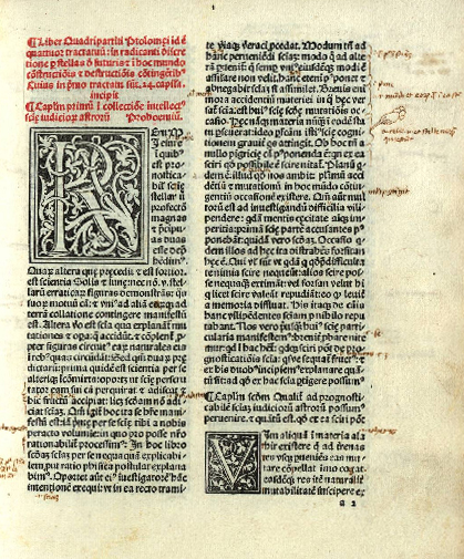 Book
Primary source
Tetrabiblos
Ptolemy · c. 2nd century AD
Free account
Browse every Ptolemy source
Sign up free →
Ready when you are
Start chatting with Ptolemy now.
20 messages free · No credit card · Available in 50+ languages.